Projects
A selection of my geospatial and AI projects. Click any card to explore.
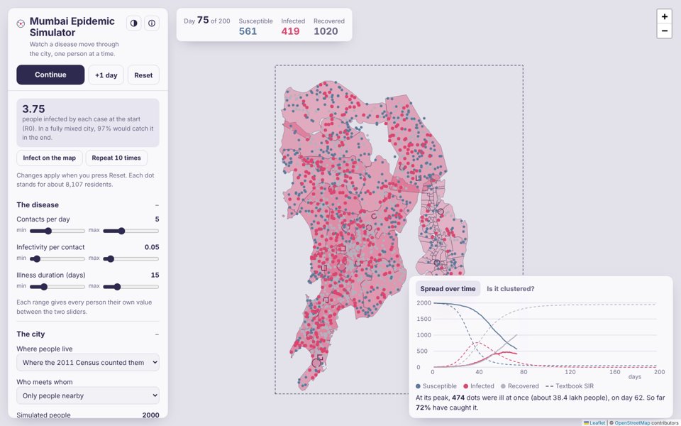
An epidemic spreading person by person across the real map of Mumbai, Thane and Navi Mumbai. Agent-based SIR on 2011 Census population, with commuting, arriving travellers, vaccination and Monte Carlo runs, checked against the SIR equations, with a semivariogram and Moran's I for spatial clustering.
Agent-based model SIR Census 2011 Gravity model Semivariogram Leaflet

Mumbai Durga Pujo Map · মুম্বাই পুজো পরিক্রমা
115 Durga Pujos across Mumbai, Thane and Navi Mumbai, sorted nearest to you, with a walking compass, directions and a pandal-hopping route. In English and বাংলা, light or dark.
Leaflet deck.gl Compass Geocoding Bilingual Durga Puja

A field camera for flood ground truthing. One tap saves a photo labelled flooded, waterlogged or dry, with water depth, flow and the spot under the crosshair, so the waterline can be traced from dry ground. Works offline.
PWA Flood mapping Ground truth GPS Compass Leaflet

A field capture app that turns every photo into a mapped ground footprint, with its location, look direction and tilt. Works offline on web and Android.
PWA Android GPS Compass Leaflet

Interactive exploration of World Bank debt trajectories (1946–2025) with slope-weighted visualizations, regional groupings, and multi-currency support (USD / ₹ Lakh-Crore). Touch-responsive, data-driven design.
D3.js Data Visualization Economics Interactive Responsive

A high-octane arcade shooter with procedural difficulty scaling. Pilot your spaceship above Mumbai, dodge and destroy asteroids with real-time leaderboard tracking!
HTML5 Canvas Web Audio Firestore PWA

Participated in 3 pre-summit events. Selected for HSBC Pune's Deccan Digital Dialogue on AI, Talent, and the GCC Ascent. Presented research poster at IIT Bombay on Conclave for AI in Science (Jan 8, 2026).
AI Research India AI HSBC IIT Bombay

A geospatial app for night lights analysis using Google Earth Engine. Compare years, generate GIF animations of urban growth, and visualize global luminosity changes over time. Presented at TechConnect, IIT Bombay.
Google Earth Engine JavaScript Geospatial Remote Sensing
NFHS Spatio-Temporal Data Analysis
Local and Global Moran's I analysis on NFHS (NSS 77th round) data to uncover spatial autocorrelation and clustering patterns in health and socioeconomic indicators across India.
Python LISA Moran's I Spatial Statistics NFHS
Exploration of space-time statistical methods including variogram modelling, kriging, and spatial regression for analysing geospatial processes across temporal dimensions.
R Python Spatial Statistics Geostatistics Space-Time